Demo
See it on real ground.
Pre-rendered areas, swiped side by side: left of the divider is the Sentinel-2 pass, right is the generated output, and zoom stops at native 2.5 m.
Areas · generated · demo 58k
The aerial layer is a real orthophoto of the same ground on a different acquisition date — a visual reference, not a target and not ground truth. Fields and colour will differ by season.
Drag inside the frame to pan — two fingers on a touchscreen, so one finger still scrolls the page. Drag the divider handle to compare. Zoom is capped at native 2.5 m — the view never fabricates resolution.
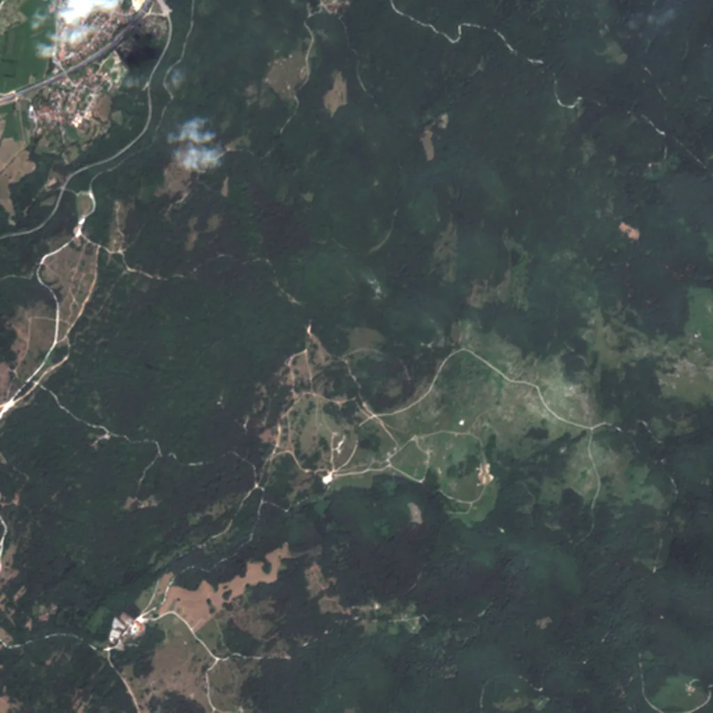
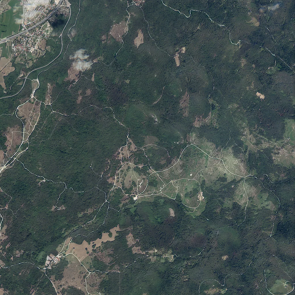
The interactive viewer needs WebGL — showing stills instead. Contains modified Copernicus Sentinel data 2024 · Map data © OpenStreetMap contributors (ODbL).
Any other location
Your area is a request away.
These areas are the demo. Live inference is in development, so until it ships we generate requested areas ourselves and send the output with its numbers.
Geographic range
Outside Slovenia
Held-out WorldStrat real Sentinel-2, with inference-safe S built only from OSM + real-S2 ExG — the fully deployment-honest path, no HR-derived conditioning anywhere.
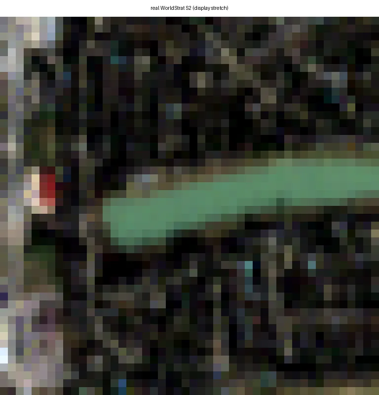
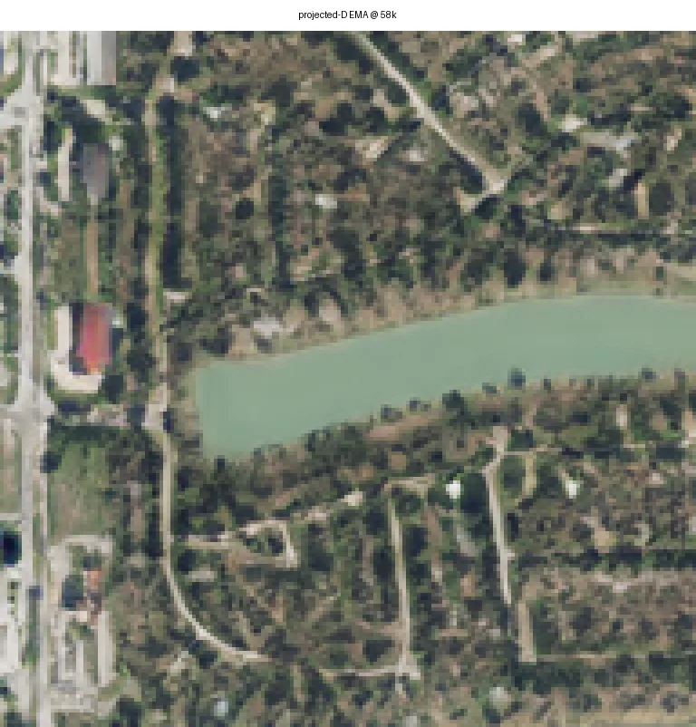
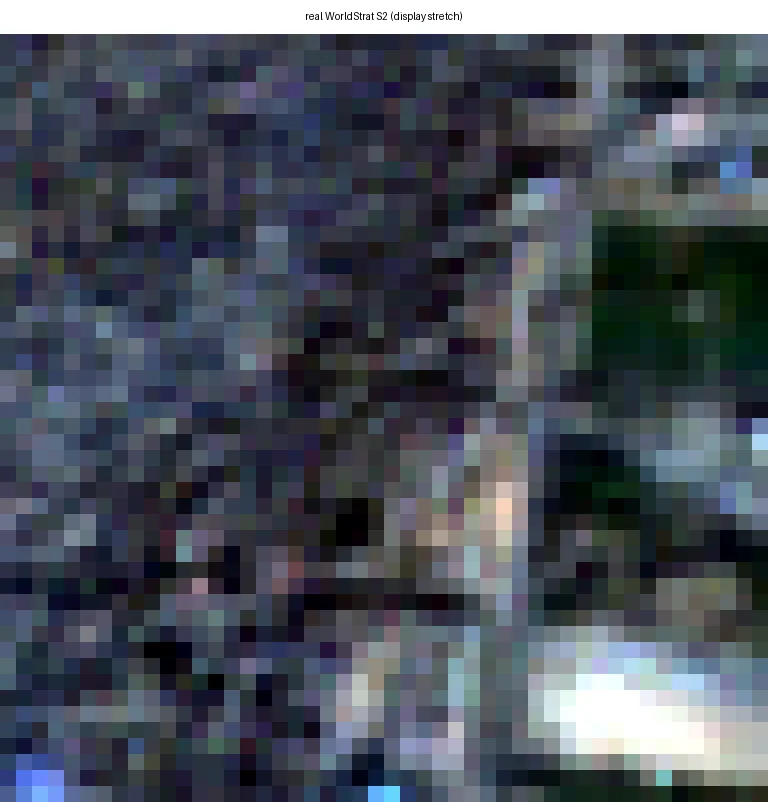
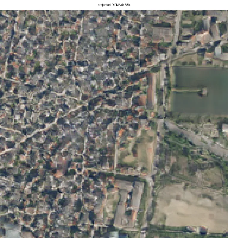
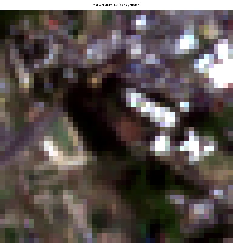
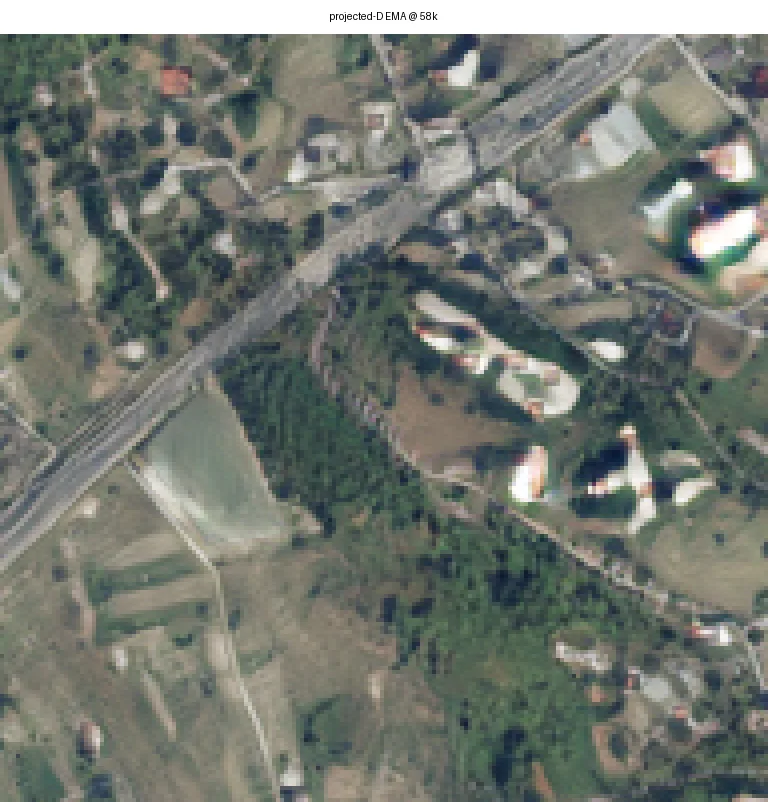
Abroad, output quality is bounded by OpenStreetMap completeness and by the training data being Slovenian. Where OSM lacks buildings, the model renders non-urban terrain.
UNVERIFIED model-read, user-delegated 2026-07-28. NEEDS HUMAN REVIEW. No aesthetic statement here is established. The source panels also carry a SPOT reference column; it is third-party commercial imagery and is deliberately not published here.
Area scale
Where the tiles meet
An area this size does not fit through the model in one pass, so it is cut into tiles and reassembled. Joints are where that shows. We measure the gradient across each joint against the same statistic away from joints — 1.0 means the joint is no different from ordinary terrain. Real aerial photography scores 0.959 on the same test. Switch between the two mosaicking strategies and watch the number move.
GENERATED · DEMO 58K · 2.5 MConditioning at Poček is 95.6% vegetation and 3.2% bare, and SEAN pools style per class — so one class owns the tile's style vector and Poček is close to a worst case for A1 tiling. The seam result is not a favourable-case result.
not in the corpus — nearest cells 3.3 km away, all split=test. Cell pocek_00, 5120 m across, co-registration residual 0.737 m. Overlap strategy: stride 64 LR (7×7 = 49), Hann-feathered in the 2.5 m plane. Visual verdict: PENDING HUMAN REVIEW.