Satellite super-resolution
Free pixels in.
Aerial out.
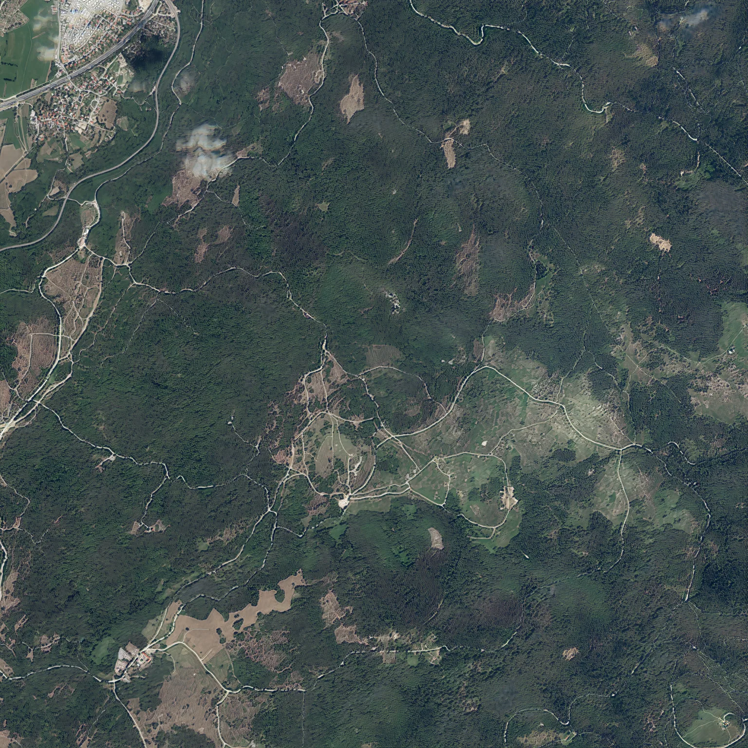
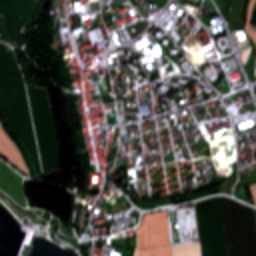
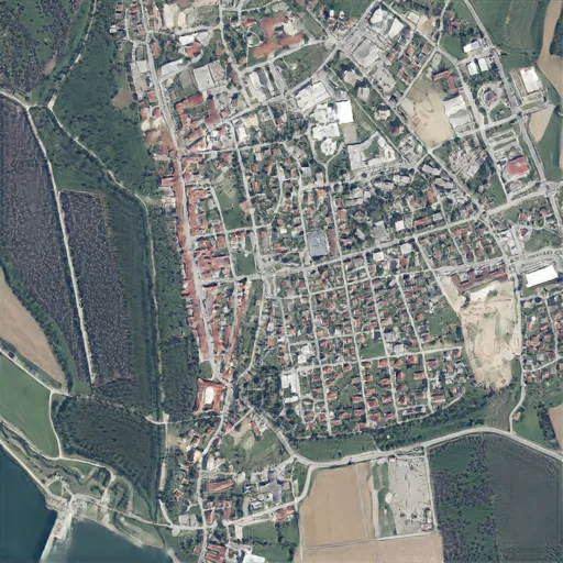
Sentinel-2 passes at ten metres, regenerated at 2.5 m in an aerial idiom — checked against the source pass.
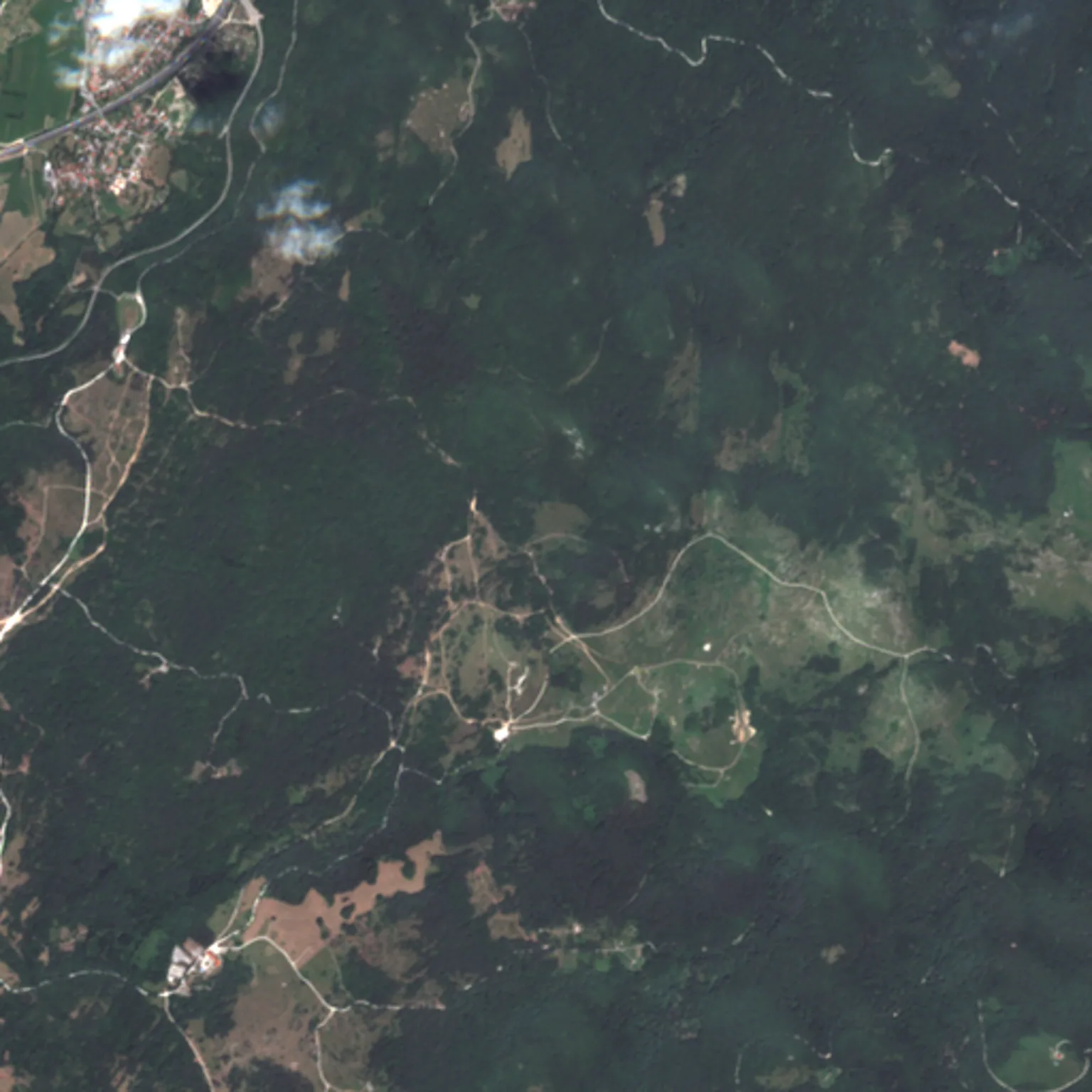
 45.746N 14.240E PASS 2024-07-18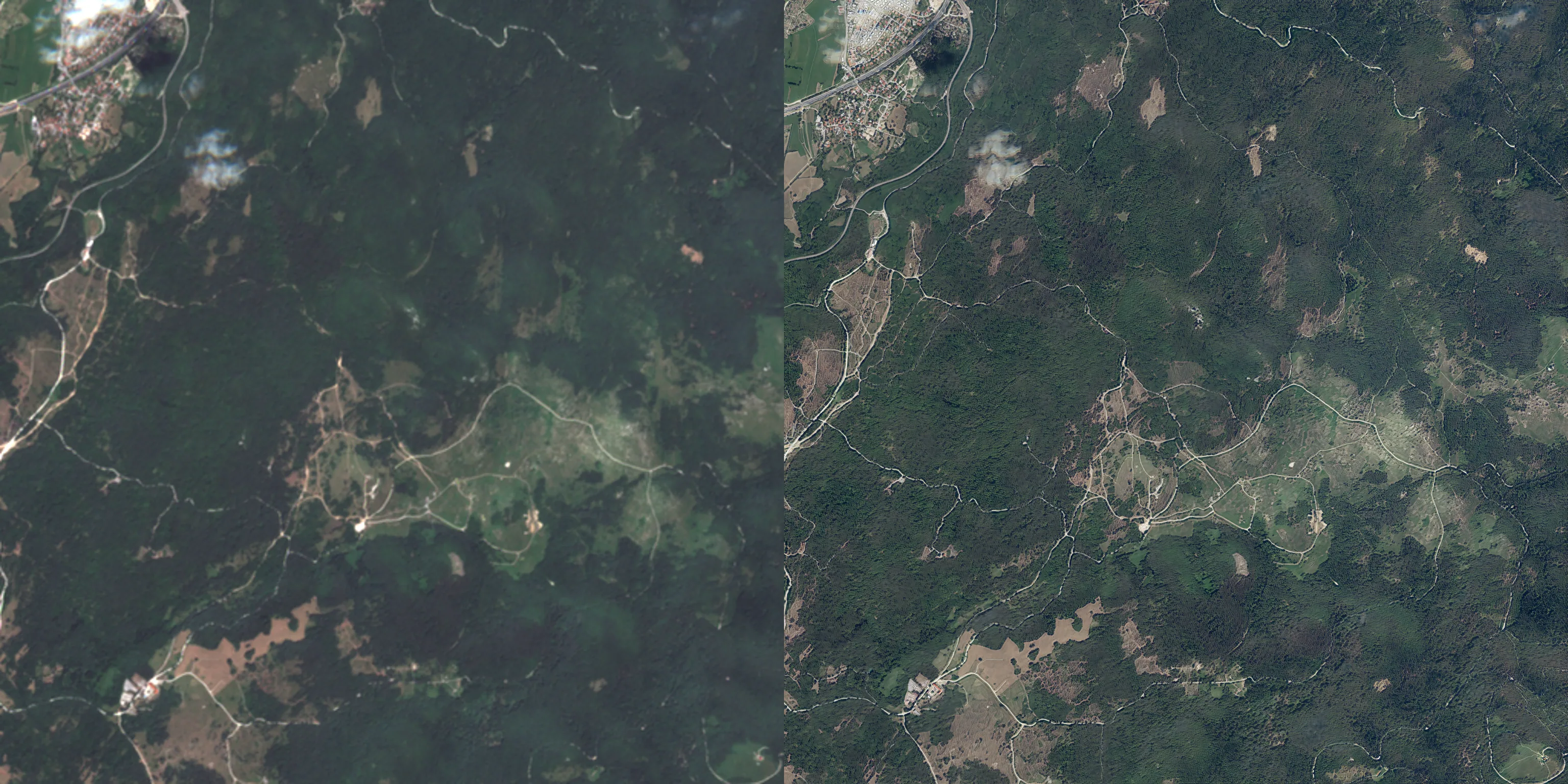
 GENERATED · DEMO 58K · 2.5 M
 Who it serves
The decision the resolution unlocks.
01
Game & simulation terrain
Real places at playable resolution from free, current passes. Layout stays faithful to the source; texture statistics are drawn from real aerial surveys. The founding use case.
02
GIS base-map refresh
National orthophoto cycles take years. Sentinel-2 returns every five days — an aerial-looking base layer for the gap between surveys, with the round-trip check attached.
03
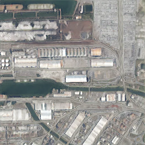
Port & industrial monitoring
Berths, yards and container blocks at 2.5 m, refreshed with each pass. Also one of the hardest strata in our gate table, and we publish where it sits.
Licensing: the commercial offer covers the 2.5 m stage, trained in-house. Research stages that run on non-commercial weights are not offered commercially, and are labelled as research wherever they appear.
We publish the test
We try to catch ourselves lying.
pending Try it →
Every number on this site → metrics.json
One square, four ways
Where we were, where we are
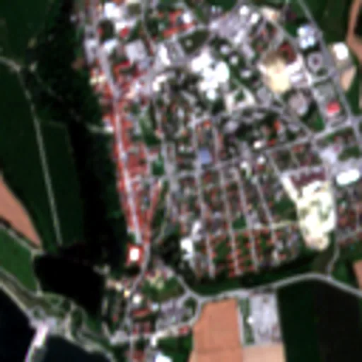
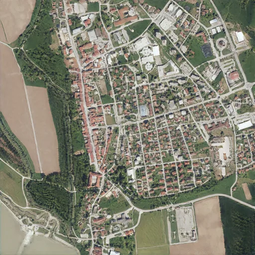
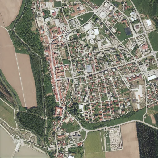
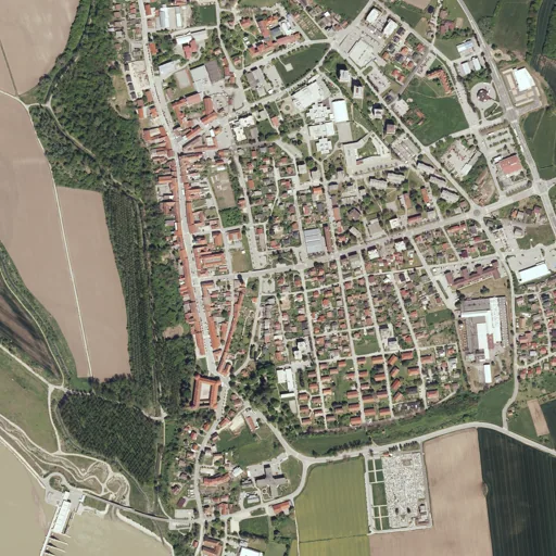
The same 1.28 km of Brežice: the satellite pass we start from, the previous generation, the current one, and a real aerial photograph of the same ground taken on another date. Judge it yourself — we do not grade our own output.
01 · Acquire
Every five days, another pass.
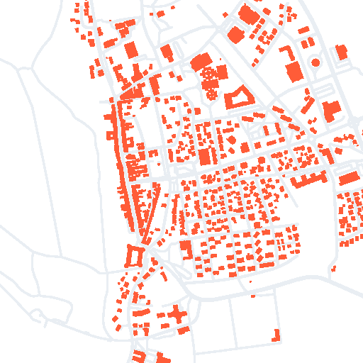
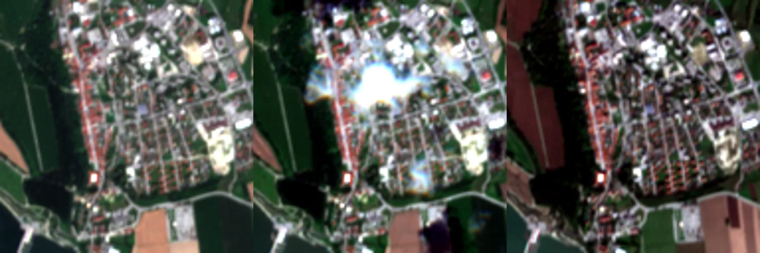
Ten revisits of one town, aligned into a single signal. The infrared band comes with them, and OpenStreetMap road and building vectors are locked onto the same grid.
02 · Condition
The blueprint conditions the image.
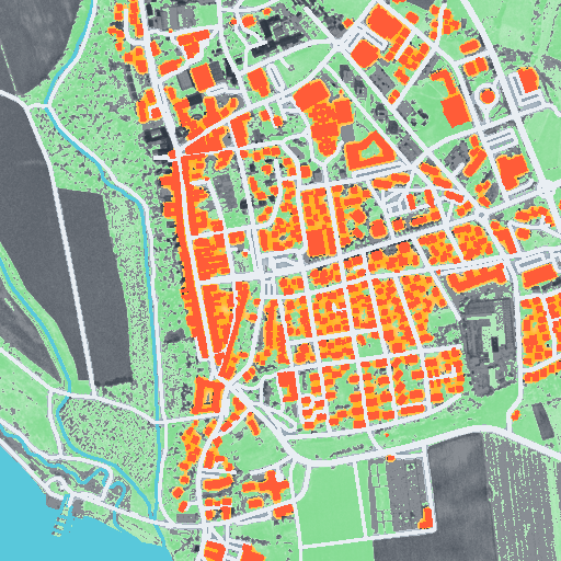
Buildings, corridors and a six-class structure map become S — the blueprint the generator has to obey, cell by cell. Detail is invented only where the source supports it.
03 · Generate & check
Sharpen, then check the sharpening.
The output is written at 2.5 m, shrunk back to ten metres, and compared with the pass it came from. The round-trip number ships with every tile.
01 · Acquire
Every five days, another pass.
Ten revisits of one town, aligned into a single signal. The infrared band comes with them, and OpenStreetMap road and building vectors are locked onto the same grid.
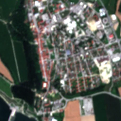 SENTINEL-2 · 10 M
 02 · Condition
The blueprint conditions the image.
Buildings, corridors and a six-class structure map become S — the blueprint the generator has to obey, cell by cell. Detail is invented only where the source supports it.


03 · Generate & check
Sharpen, then check the sharpening.
The output is written at 2.5 m, shrunk back to ten metres, and compared with the pass it came from. The round-trip number ships with every tile.
Where this goes
One plane shipped. Two in the lab.
Start a conversation
Talk to the people who publish the test.
Name the area and the resolution you need. We generate requested areas ourselves and send the result with its numbers.
Form opens at launch. The address above is a placeholder until the public contact route is set.