Industries
The decision your resolution unlocks.
One sourced use case, two candidates we can already support visually — and a backlog we won't illustrate until we can do it with real exports.
01 · Game & simulation terrain — the founding use case
Terrain of real places, without buying aerial surveys.
Build a plausible, coherent 1:1 terrain of any real place from free, current satellite passes — texture statistics drawn from real aerial surveys, layout faithful to the source.
02 · GIS base-map refresh — candidate
A current aerial look, between surveys.
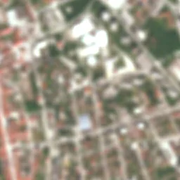
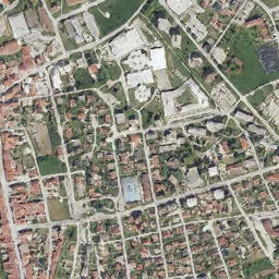
National orthophoto cycles take years; Sentinel-2 passes every five days. On identical real inputs, our output leads the best public model by ≥1.7× on texture realism (4 631 vs 7 777).
03 · Port & industrial monitoring — candidate
Readable situational imagery of active sites.
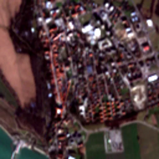
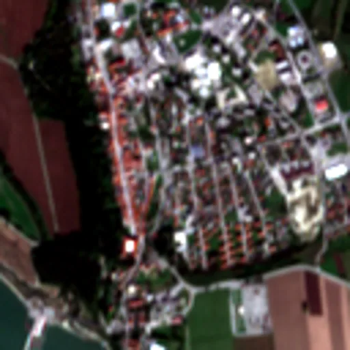
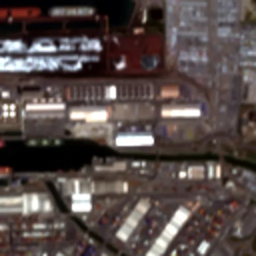
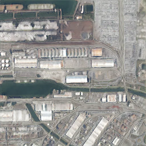
Containers, yards and berths at 2.5 m, refreshed with every pass. Industrial is one of the hardest strata — per-stratum KID-HP 4 340 (benchmark), and we publish that number rather than hide it.
Backlog — candidates without visuals yet
Digital twins & urban planning · environmental and land-use monitoring · film/VFX terrain backdrops. Each ships a spread only when we can support it with real exports — until then: talk to us.
Licensing: commercial framing applies to the 2.5 m stage (trained in-house). The 0.5 m research stage runs on non-commercial research weights and is not offered commercially.